When it will snow in Portsmouth area as Met Office issues yellow weather warning in South of UK
and live on Freeview channel 276
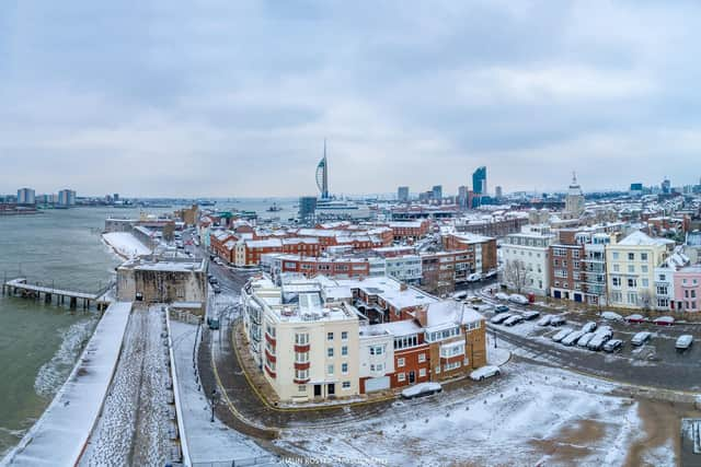
As temperatures continue to fall in the Portsmouth area – with lows to hit -1°C on Friday and Saturday – the forecaster has said that there is a chance the region could see snow fall amid an “uncertain period” later in the week. Parts of Hampshire saw snow fall this morning (Thursday, November 30). The Met Office has issued a yellow weather warning for the cold conditions, covering northern parts of the UK and the South West of England.
BBC weather has also forecast snow and sleet for Hampshire, Dorset and the Isle of Wight – and it is expected to fall tonight (November 30).


Advertisement
Hide AdAdvertisement
Hide AdMet Office chief meteorologist, Neil Armstrong, said: “We’ve already seen snow settling in parts of eastern Scotland and northeastern England. As the cold air continues to spread across the UK we also expect to see some snow over the high ground of southwest England overnight tonight and through tomorrow.
“Snow showers will continue along the North Sea coast with a northeasterly air flow, leading to further accumulations over higher ground. Where the showers fall as rain there is a risk of icy patches forming overnight with temperatures widely dipping below freezing. A number of National Severe Weather Warnings have been issued and these are likely to be updated through the week so stay up to date with the forecast for your area.”
David Oliver, a Met Office deputy chief meteorologist, said: “After some rain on Monday, conditions will turn mainly dry in the south for a time before a very uncertain period on Thursday and Friday for the southern half of England and Wales. The weather models are highlighting several possible solutions from very wet to mainly dry, with a mainly dry picture the most probable outcome at present.
NOW READ: Snow falls across Hampshire
“However, some models include the prospect of an area of low pressure developing and moving in from the south or southwest. If this solution proves to be correct, we could see an area of warmer and moisture-laden air ‘bumping’ into the cold air further north. Along the boundary of the two air masses lies a zone across southern and central Britain where snowfall could develop fairly widely.
Advertisement
Hide AdAdvertisement
Hide Ad“Snow in any affected area is unlikely to be anything more than transient and short-lived, but it could lead to small totals and some disruption over a few hours before melting.”
RAC Breakdown spokesman Rod Dennis added: "We expect to see a sharp rise in breakdowns this week as cold weather is the nemesis of older car batteries. It exposes any weaknesses in battery health and leads to a huge jump in the number of cars that won't start.
"We urge every driver who has noticed their car is sluggish to start to get it checked by a reputable mobile mechanic or garage as soon as possible. Anyone who doesn't, risks their car letting them down just at the very moment they need it, whether they're heading to work or on the way to an important appointment.
"We also strongly recommend drivers pack some winter gear should their cars let them down and they find themselves stuck in sub-zero temperatures. Extra warm clothes, food and drink, plus a fully charged phone powerbank are all a must."